The image commonly associated with Canada is a cold one, one of the North American country and its icy blizzards and feet of accumulated snow. Nevertheless, the one thing that actually characterizes Canada is water.
The country is home to 20% of the planet’s fresh water. It’s dotted with lakes of all sizes and is surrounded by various oceans and seas.
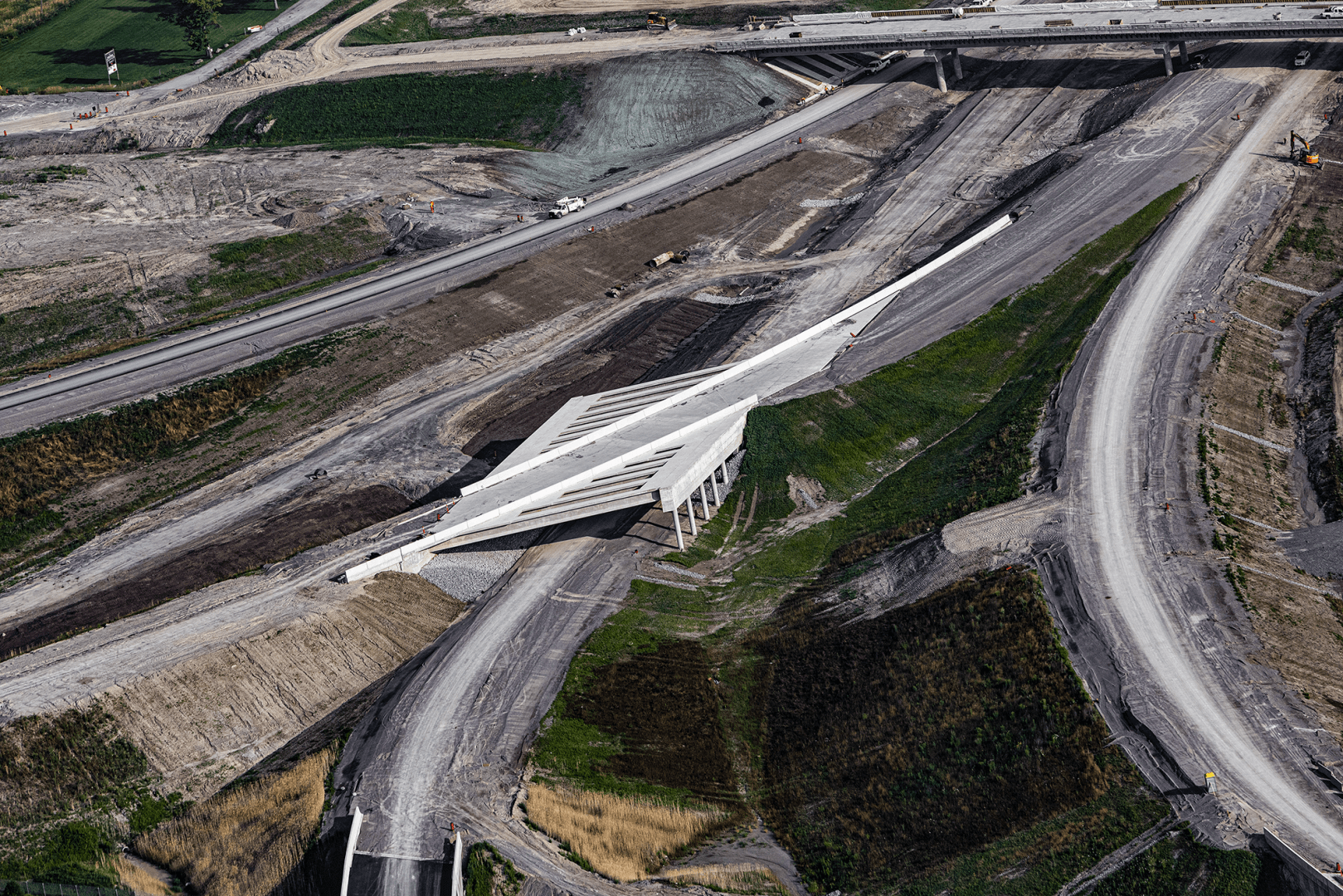
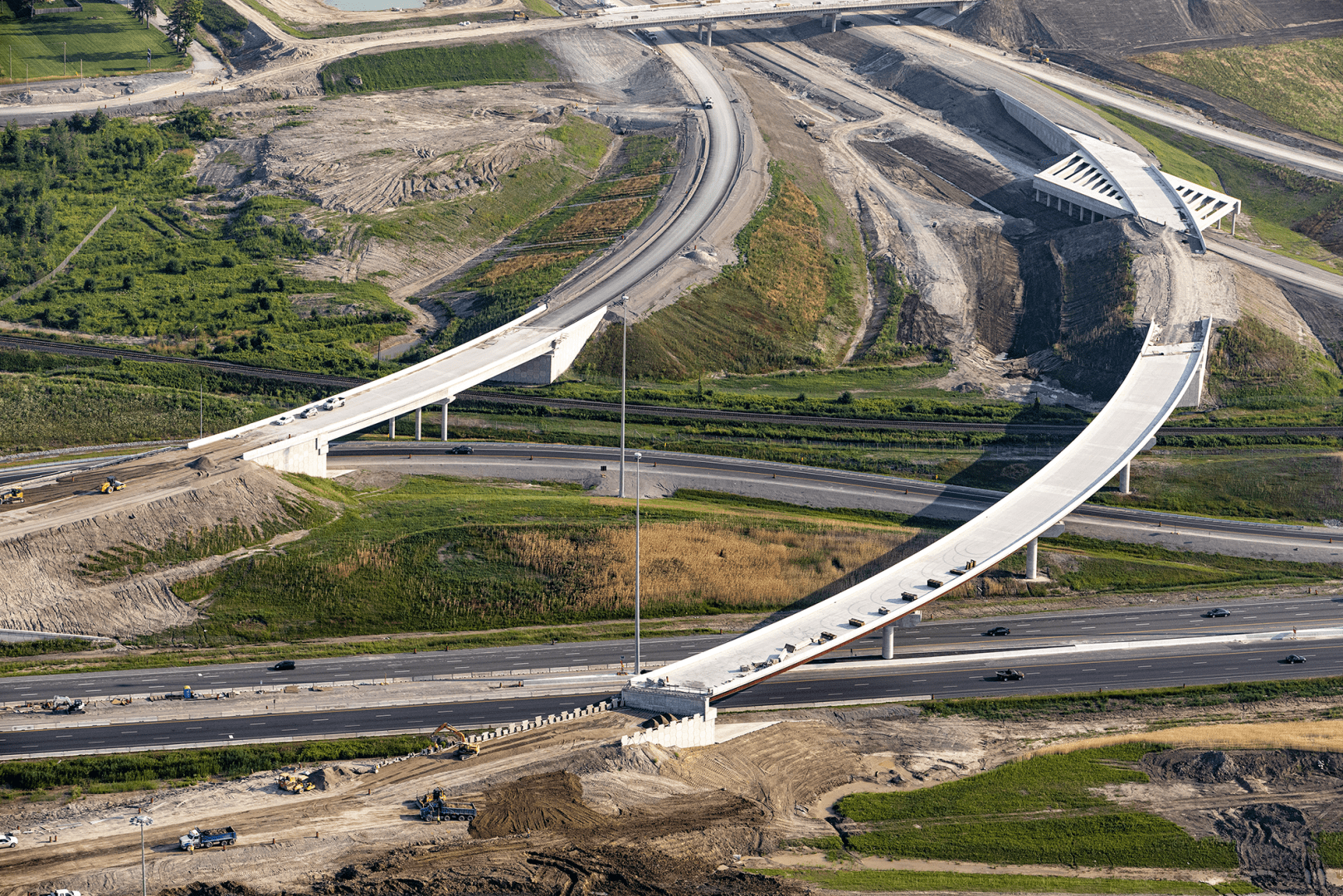
Between two of Earth’s great lakes, Ontario and the Simcoe (the descendant of a prehistoric lake from the last great ice age), is exactly where one of the highways spanning the province runs. This road helps the Greater Toronto Area make sense in terms of mobility. The 407 East is one of several branches of the 407 highway, the infrastructure meant to reduce traffic on the most used highway in all of North America: the 401, or Toronto’s beltway.
The eastern variant of the “four-oh-seven” runs 22 kilometers between Brock Road in Pickering and Harmony Road in Oshawa; to the south is Lake Ontario, and to the north, the plain that runs into the Simcoe. Another 10 kilometers of asphalt connect with the heavily trafficked 401, which carves new shapes along the shores of the great Canadian lakes.
Asphalt, Technique and Technology
Besides asphalt, the 407 East is technique and technology. On the one hand, this section runs through several important nature areas where five protected species live. As such, different conservation and protection techniques were put into practice during its construction. On the other, it uses dynamic pricing technology, preventing heavy traffic from piling up on the highway.
Ferrovial, the editor responsible for the website, uses technical and analytical cookies, its own and third parties, necessary for the correct website functioning, and cookies that allow us to analyze your navigation and offer you various functionalities within the website. For more information see our cookies policy.
This website uses first and third-party cookies, which are necessary for the website’s correct functioning, and which allow us to analyse your browsing and offer you several functionalities within the website. Out of these cookies, the cookies that are categorized as necessary are stored on your browser as they are essential for the working of basic functionalities of the website. We also use third-party cookies that help us analyze and understand how you use this website. These cookies will be stored in your browser only with your consent. You also have the option to opt-out of these cookies. But opting out of some of these cookies may have an effect on your browsing experience.